Norman landing places in 1066AD and their merits
The ships land and the knights ride to Hastings - so not that close
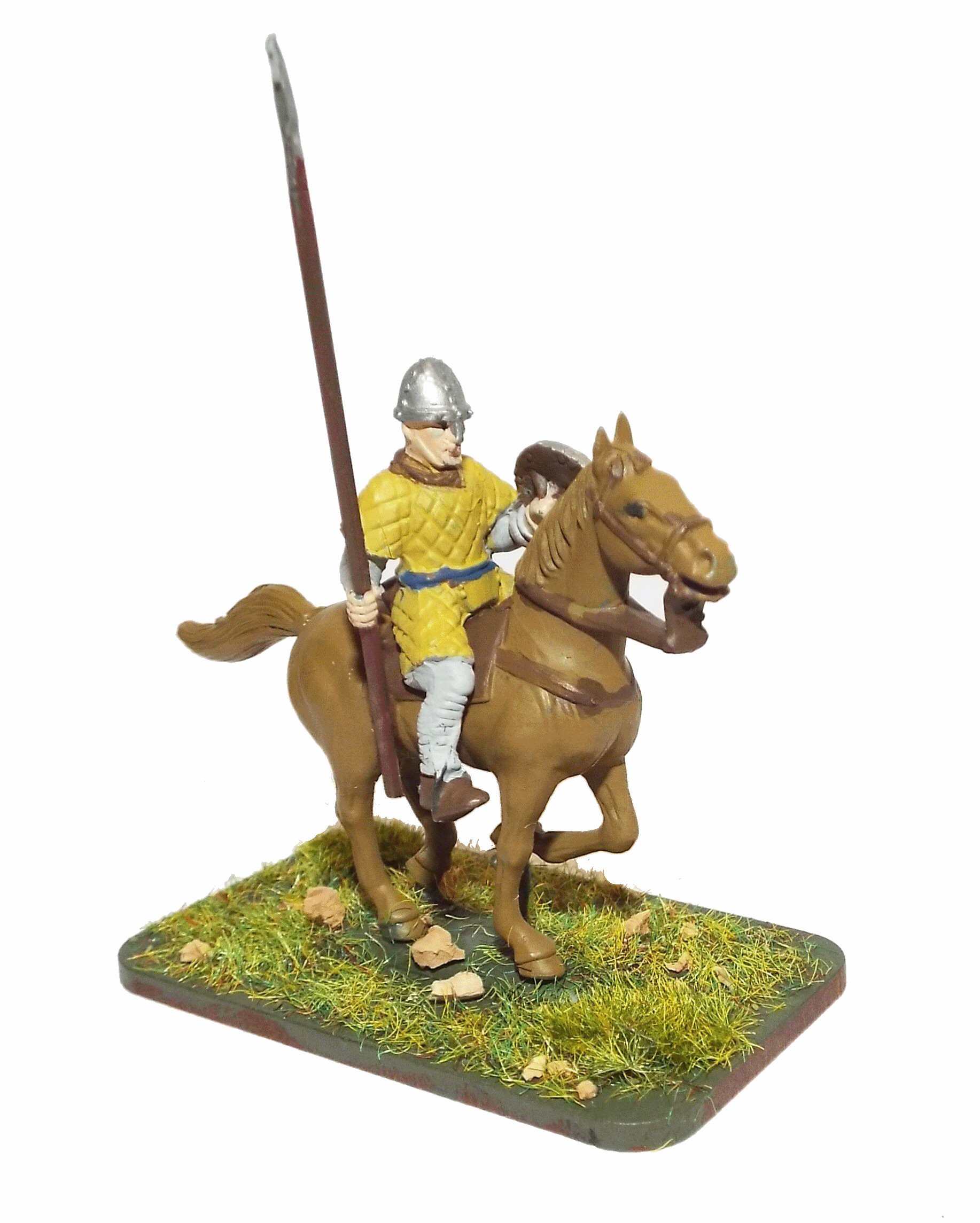
please click the image to go to the bayeuxtapestry.org.uk for further details. |
The first thing to note is that there were and still are cliffs to the west of Eastbourne
and also between Hastings and present day Winchelsea. The cliffs are mentioned in the The Carmen de Triumpho
Normannico(Carmen) - 'Nor the rocky coast looming perilous' and 'One Englishman kept hidden under the sea cliffs'
from this we can deduce that some cliffs were overlooking the landing spot, but not which ones.
There are also references in the Carmen to 'Since leaving the sea behind when you seize a sheltered strand' also
'I rejoice as you and yours seize a peaceful arc of strand' and 'And so carried with him, returned to his seaside camp'.
So this would imply a sheltered or protected not too hilly seaside landing place. If we also assume that there were about
700 Norman ships which when landing they would occupy about 6 metres per ship this would mean the landing site would need
to be about 4200 metres wide, so about 2 1/2 miles from one end to the other (please click on the google map scale to change to miles).
There are also references to the location in the 'Gesta Normannorum Ducum(Gesta)'
'and crossing the sea he landed at Pevensey where he immediately built a castle with a strong rampart'.
and
'He left this in charge of some troops, and with others he hurried to Hastings where he erected another similar fortress'
We also seem to have a reference to the ships sailing towards the West as a vessel appeared to land at New Romney
where the Normans were killed, as William attacked New Romney on his way to Dover(This could only have been by sea
as the marshes did not really support marching). This implies that the Normans were sailing towards the west and passed
the Romney marsh on the way to their landing at Pevensey(Cooden).
Documentary References: - The Norman landing and its possible locations
|
Anglo Saxon Chronicles
|
|---|
Meantime Earl William came up from Normandy into Pevensey on the eve of St. Michael's mass; and soon
after his landing was effected, they constructed a castle at the port of Hastings.
|
Battle Abbey Chronicles
|
|---|
The duke, therefore, with a prodigious army, and attended by the divine favour, arrived safely near the
castle called Pevensey. The soldiers leaped joyfully upon English ground at intervals along the shore.
|
Bayeux_Tapestry
|
|---|
Troops disembark and are sent to Hastings to get provisions.
hic exeunt caballi de navibus et hic milites festinaverunt haestinga ut cibum raperentur
(the horses are taken from the ships and the soldiers make haste to Hastings to seize food)
|
Carmen de Triumpho Normannico
|
|---|
Nor fear the Northern gale, but to a charming landing place
Nor the rocky coast looming perilous
Since leaving the sea behind when you seize a sheltered strand
The land belonging to you had been stripped of tenants
You rejoice as you and yours seize a peaceful arc of strand
|
Florence of Worcester
|
|---|
While these events were passing, and when the king might have supposed that all his enemies were quelled, he received
intelligence of the arrival of William, earl of Normandy, with an innumerable host of horsemen, slingers, archers, and
foot soldiers, having taken into his pay auxiliary forces of great bravery from all parts of France ; and that he had
moored his fleet at a place called Pevensey.
|
Master Wace
|
|---|
The ships steered to one port; all arrived and reached the shore together ; together cast anchor,
and ran on dry land ; and together they discharged themselves. They arrived near Hastings, and there
each ship ranged by the other's side.
and they scoured the whole shore, but found not an armed man there.
They formed together on the shore, each armed up
on his warhorse. All had their swords girded on, and passed into the plain with their lances raised.
|
William of Jumièges/Orderic Vitalis(Gesta)
|
|---|
The Norman expedition, therefore, crossed the sea on the night of the third of the calends of October [29th September],
which the Catholic church observes as the feast of St. Michael the archangel, and, meeting with no resistance, and
landing safely on the coast of England, took possession of Pevensey and Hastings, the defence of
which was entrusted to a chosen body of soldiers, to cover a retreat and guard the fleet.
|
So to condense all requirements for the location we come to the following requirements:-
- Near Pevensey or Pevensey Bay and near Hastings
- Went past a rocky coastline
- In a sheltered landing place
- Create a moated fort(flat pack)
- Visible from a high hill or cliff
- Near to the wasted villages in the Domesday book
- Within horse riding distance of Hastings
- You restore forts long since destroyed
Starting from the West of the map(left)
1. The first possible place is Pevensey as its mentioned the Bayeux Tapestry 'William sails to Pevensey' and
'He lands at Pevensey. Soldiers ride off towards Hastings and gather food'. So Pevensey is possible.
However if we now add from the Carmen - 'He sees the countless ranks stream forth' and 'Blazing flames devour homes'
and from our mapping of the wasted villages from AD1066 we can see that there are no 'wasted villages' anywhere
near to Pevensey.
Also the Carmen says 'You restore the forts that were long since destroyed' and
'And raise palisades, that you may site the camp within'. If the Normans landed near Pevensey then they would
probably have taken over the old Roman Shore Fort there, so there would have been no need for palisades or restoration
as the walls still exist and are massive even today.
The other issue with Pevensey is finding a good route across the marshes to get to Hastings, a few soldiers
could have been carried across the marshes by ship, but they are shown riding in the Bayeux Tapestry.
-
 Went past a rocky coastline - Near to Eastbourne Went past a rocky coastline - Near to Eastbourne
- In a sheltered landing place
 Create a moated fort(flat pack) - unnecessary Create a moated fort(flat pack) - unnecessary- Visible from a high hill or cliff - Overlooked by Beachy Head
- Near to the wasted villages in the Domesday book - Long way away
- Within horse riding distance of Hastings - Route is very difficult
- You restore forts long since destroyed - no evidence
If this was the location then William would have left the area via Lewes as that was the easiest route to get out
of the area due to the Roman Road layout and would never have gotten to Hastings.
So to my mind a landing at Pevensey is difficult to match with all the documentation.
2. The next place is the Hooe Peninisular as its protected by Beachy Head, again this is possible but is not really overlooked by
the Cliffs at Eastbourne, and again the damage to the villages seems to be less intense as those locations further east.
- Went past a rocky coastline - Between Eastbourne and Hastings cliffs
- In a sheltered landing place
- Create a moated fort(flat pack) - no evidence
- Visible from a high hill or cliff - Overlooked by Beachy Head
- Near to the wasted villages in the Domesday book
- Within horse riding distance of Hastings
- You restore forts long since destroyed - no evidence
If this was the location then William would have left the area via current day Ninfield to join the old ridgeway at
the modern day A271/B2096 junction as that would be the easiest route to get out
of the area due to the Roman Road layout and from here could ride to Hastings.
Again due to the distance away from the wasted villages and no evidence of forts,
it would seem that this site is also difficult to match with all the documentation.
3. The next place to the East is Normans Bay - Barnhorne(there is no knowing when this was named) this is a
possibility as its overlooked by the cliffs at Eastbourne, but the wasted villages all seem to be
further East, but this may be due to limited local population.
Near the local area is a moated location at Cooden
which could have been built in this time as its known it was in use in the 13th century, only a few
years after the landing, and is likely that the local de Codlinge family just took over the 'flat pack' fort
after the invasion.
Also after plotting in detail the 5 metre contour line it would seem that there was
land protecting this estuary from the worst of the Channel weather by the ridge at Barnhorne,
so was a protected harbour.
- Went past a rocky coastline - Between Eastbourne and Hastings cliffs
- In a sheltered landing place
- Create a moated fort(flat pack) - small fort at Cooden
- Visible from a high hill or cliff - Overlooked by Beachy Head
- Near to the wasted villages in the Domesday book
- Within horse riding distance of Hastings
- You restore forts long since destroyed - no evidence
If this was the location then William would have left the area via current day Hooe to Ninfield to join the old ridgeway at
the modern day A271/B2096 junction as that would be the easiest route to get out of the area due to the Roman Road layout
and from here could ride to Hastings.
This location is one of the most likely.
4. The next place to the East is Normans Bay - Cooden(there is no knowing when this was named) this is a
possibility as its overlooked by the cliffs at Eastbourne, but the wasted villages all seem to be
further East, but this may be due to limited local population.
In the local area is a moated location
which could have been built in this time as its known it was in use in the 13th century, only a few
years after the landing, and is likely that the local de Codlinge family just took over the 'flat pack' fort
after the invasion.
Also after plotting in detail the 5 metre contour line it would seem that there was
land protecting this estuary from the worst of the Channel weather, so was a protected harbour.
- Went past a rocky coastline - Between Eastbourne and Hastings cliffs
- In a sheltered landing place
- Create a moated fort(flat pack) - small fort at Cooden
- Visible from a high hill or cliff - Overlooked by Beachy Head
- Near to the wasted villages in the Domesday book
- Within horse riding distance of Hastings
- You restore forts long since destroyed - no evidence
If this was the location then William would have left the area via current day Ninfield to join the old ridgeway at
the modern day A271/B2096 junction as that would be the easiest route to get out
of the area due to the Roman Road layout and from here could ride to Hastings.
This location is one of the most likely, maybe more so than Barnhorne due to the moated site.
5. Further to the East is Bexhill this is possible that this is the landing point as its overlooked
by the cliffs at Eastbourne and Hastings, with the wasted villages in the vicinity.
The Carmen mentions 'You restore the forts that were long since destroyed' and
'And raise palisades, that you may site the camp within'. It would seem a likely place as the beaches in the area
are shallow and deep enough to set up a camp with palisades, however there dont seem to be forts in the area, but
this would be difficult to acertain today due to the building work that has been done in the area. The down side is that
the landing point wouldn't have been 'a sheltered strand'.
- Went past a rocky coastline - Between Eastbourne and Hastings cliffs
- In a sheltered landing place
- Create a moated fort(flat pack) - no evidence
- Visible from a high hill or cliff - Overlooked by Beachy Head
- Near to the wasted villages in the Domesday book
- Within horse riding distance of Hastings
- You restore forts long since destroyed - no evidence
If this was the location then William would have left the area via current day Ninfield to join the old ridgeway at
the modern day A271/B2096 junction as that would be the easiest route to get out
of the area due to the Roman Road layout and from here could ride to Hastings.
This location is possible but its not sheltered, and no evidence of a fort.
6. Now to the old inlet at Bulverhythe there is a very high probability that this is the landing point as its overlooked
by the cliffs at Eastbourne and Hastings, with the wasted villages in the vicinity.
The inlet would have been protected and have a sandy shore
The Carmen mentions 'You restore the forts that were long since destroyed'
This possibly relates to the Burghal Hidage fort at Hastings and the Roman fort at Pevensey.
and
'And raise palisades, that you may site the camp within'. It would seem a likely place as the land on the Bexhill side
is shallow and deep enough to set up a camp with palisades. The Burghal Hideage(early 900AD) mentions that there was a fort of
500 hides at Hastings(based on 16 hides per acre this would have been about 31.5 acres = 152460sq yds - aprox a square of 390 yds)
If we assume that this area was the old port of Hastings pre the 1267AD Storm, then the Hideage fort could have been on the hill
at modern day Harley Chute Road, if the fort was not there then it would have had to be on the top of the hill at Baldslow
as it has full views all around, or the high point at North's Seat in Ore.
- Went past a rocky coastline - Near to Hastings Cliffs
- In a sheltered landing place
- Create a moated fort(flat pack) - no evidence of a fort
- Visible from a high hill or cliff - overlooked by the Ridge at Hastings
- Near to the wasted villages in the Domesday book
- Within horse riding distance of Hastings
- You restore forts long since destroyed - no evidence
If this was the location then William would have left the area via current day Telham to join the old ridgeway and from here could ride to Hastings.
This location is probably the second most likely landing point as it seems to fit all the descriptions with the exception of the flat pack fort.
Nick Austin believes this as to the landing point in his Secrets of the Norman invasion a really good reference if you buy the book.
7. Now to modern Hastings there is a very low probability that this is the landing point as it is likely that the cliffs
surrounding Hastings would have made the landing very dangerous and that it wasn't very sheltered.
- Went past a rocky coastline - Near to Hastings Cliffs
- In a sheltered landing place
- Create a moated fort(flat pack) - why build a fort if there is a Burghal Hideage fort here.
- Visible from a high hill or cliff - overlooked by the Ridge at Hastings
- Near to the wasted villages in the Domesday book
- Within horse riding distance of Hastings - if landed here there would be no need of horses.
- You restore forts long since destroyed - possibly Alfred the Great's Burghal Hidage fort.
If this was the location then William would have left the area via current day Telham to join the old ridgeway and from here could ride to Battle.
This location is probably the least likely landing point.
Nick Austin believes this as to the landing point in his Secrets of the Norman invasion a really good reference if you buy the book.
8. Finally to a proposed location in the Brede Valley.
There are some problems with this area, the first and most major one is that there is very little damage to the villages
around the area. Rye was a major port and there was no damage there, in fact the Rye peninsular seems to have gotten off lightly.
This location was overlooked by high ground at Cadborough Cliffs near to Rye on the Udimore peninsular, and a moated area can be found at Lower Snailham.
The port of Rye would probably also have been in this estuary, and if William landed here then it is likely that more than one
of his ships would have overrun to New Romney.
- Went past a rocky coastline - Near to Hastings Cliffs
- In a sheltered landing place
- Create a moated fort(flat pack) - There is a moated site at Lower Snailham
- Visible from a high hill or cliff
- Near to the wasted villages in the Domesday book - long way away
- Within horse riding distance of Hastings
- You restore forts long since destroyed - no evidence
If this was the location then William would have left the area most likely to join the old ridgeway at
Ore as that would be the easiest route to get out of the area due to the Roman Road layout and from here
could ride to Hastings.
However he could also have gotten out of the area via current day Udimore along the Rye ridgeway.
This location is a possibility and has been included as it has been proposed as a landing site(Many thanks to Jonathan Starkey for providing additional evidence), but this is a long way from Pevensey unless Pevensey has been misinterpreted
in the current documentation.
So in conculsion, to me it would seem likely that William landed at modern day Cooden(Normans Bay so the name may have originated
due to the invasion), this would mean that his
main route for a large number of troops out of the area would have been via Ninfield and Catsfield, which gives us a direction of
travel to the Battle by the Normans.
Total Population(ex slaves) of the 68 Domesday Villages in 1086AD shown is 1591
This would equate to a Fyrd(national service) of approximately 95 soldiers.
Please Note that the estimate for the Fyrd is based on 6% of the
population(excluding Priests and Slaves) being eligible for military duties.
| Summary of Domesday information for this map |
|---|
Population Overview |
|---|
| Villagers | 1065 | |
|---|
| Cottagers | 148 | Thegns |
|---|
| Smallholders | 192 | |
|---|
| Slaves | 30 | |
|---|
| Priests | 1 | |
|---|
| Burgesses | 185 | Thegns |
|---|
Occupation Overview |
|---|
| Churches | 16 | |
|---|
| Mills | 12 | |
|---|
| Fisheries | 3 | |
|---|
| Salthouses | 205 | |
|---|
| Ploughs | 699 | |
|---|
Land Overview |
|---|
| Plough Land | 606 | acres |
|---|
| Meadows | 496 | acres |
|---|
| Woodlands | 187 | acres |
|---|
Animals Overview |
|---|
| No Animal details recorded in Domesday |
Valuation |
|---|
| | AD1066 | AD1086 |
|---|
| Value(geld) | | 475 | 454 |
|---|
|