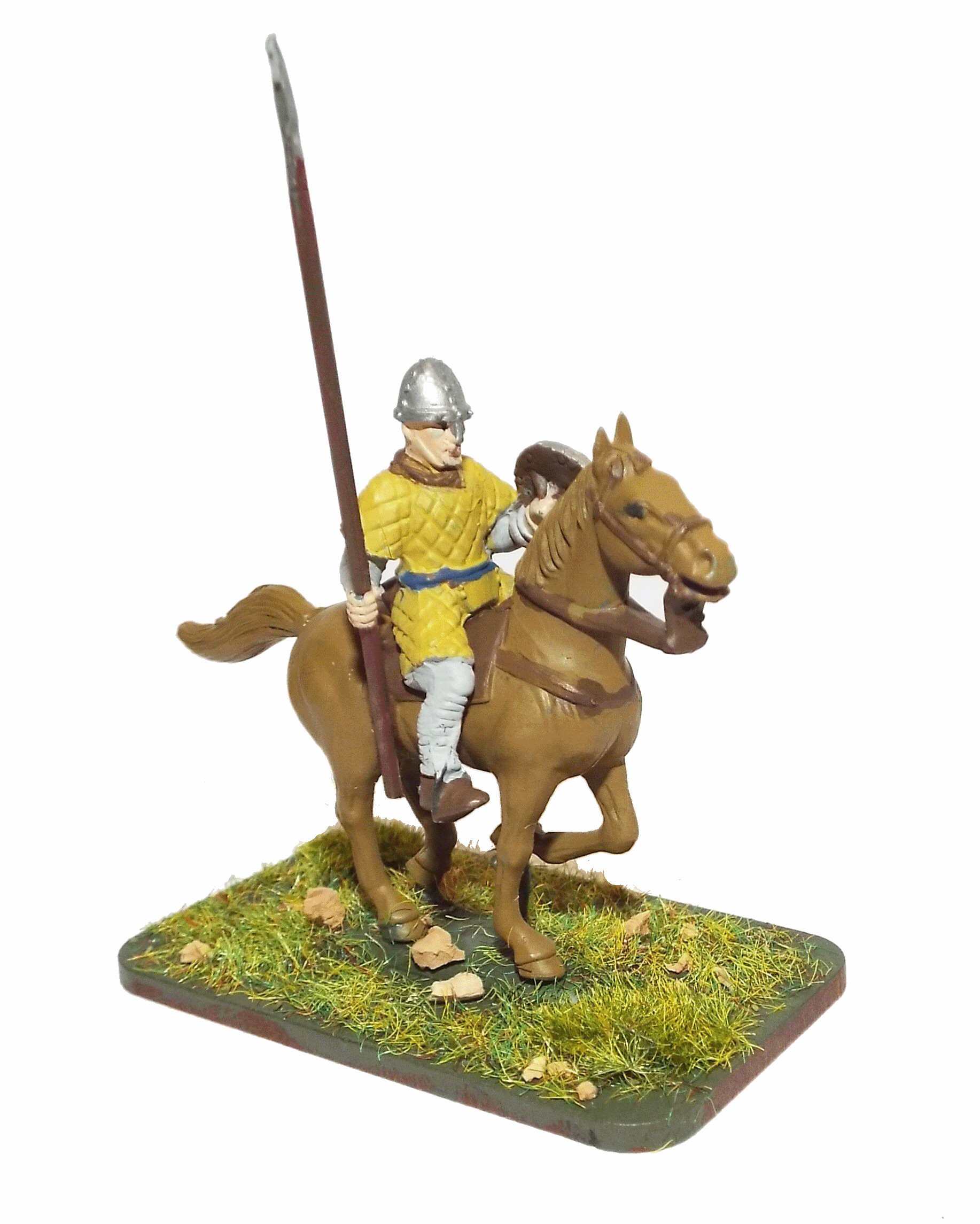
Battle of Hastings AD1066 - Phase 16 - Evening before the Battle
The evening before the Battle, the Saxons parth and the Normans pray.
| This page shows the documentary evidence from translated original documents
|
|---|
Anglo Saxon Chronicles
|
|---|
No reference to this subject in this document.
|
Battle Abbey Chronicles
|
|---|
No reference to this subject in this document.
|
Bayeux_Tapestry
|
|---|
No reference to this subject in this document.
|
Carmen de Triumpho Normannico
|
|---|
|
Florence of Worcester
|
|---|
No reference to this subject in this document.
|
Henry of Huntingdon
|
|---|
No reference to this subject in this document.
|
Master Wace
|
|---|
I have heard tell that the night before the day of battle, the English were very merry, laughing
much and enjoying themselves. All night they ate and drank, and never lay down on their beds. They
might be seen carousing, gambolling and dancing, and singing; BUBLIE() they cried, and WEISSEL(wæs hæle - to be healthy), and
LATICOME(læt æc macung - all to action) and DRINCHEHEIL(drinc hal - good health), DRINC-HINDRE-WART(drinc) and DRINTOME(drinc to me), DRINC-HELF(drinc hal - good health), and DRINC-TOME(drinc to me).
Thus they bemeaned themselves; but the Normans and French betook themselves all night
to their orisons, and were in very serious mood. They made confession of their sins, and accused
themselves to the priests; and whoso had no priest near him, confessed himself to his neighbour.
The day on which the battle was to take place being Saturday, the Normans, by the advice of the
priests, vowed that they would nevermore while they lived eat flesh on that day. Giffrei, bishop of Cou
tanes, received confessions, and gave benedictions, and imposed penances on many ; and so did the
bishop of Bayeux, who carried himself very nobly.He was bishop of the Bessin, Odes by name, the son
of Herluin, and brother of the duke on the mother's side. He brought to his brother a great body of
knights and other men, being very rich in gold and silver.
|
William of Jumièges/Orderic Vitalis(Gesta)
|
|---|
It was his design to take them unawares, and crush them at once by a night attack, or, at least, by a sudden onset,
and, that they might not escape by sea, he caused a fleet of seventy ships, full of soldiers, to guard the coast.
Duke William, having intelligence
of Harold's approach, ordered his troops to take to their arms on the morning of Saturday. He then heard mass, strengthening
both body and soul by partaking of the consecrated host ; he also reverently suspended from his neck the holy relics on which
Harold had sworn. Many of the clergy had followed the Norman army, among whom were two bishops, Odo, of Bayeux, and Geoffrey,
of Coutances, with attendant clerks and monks, whose duty it was to aid the war with their prayers and counsels.
|
William of Malmesbury
|
|---|
No reference to this subject in this document.
|
Quedam Exceptiones de Historia Normannorum et Anglorum
|
|---|
No reference to this subject in this document.
|
Phases of the Battle of Hastings 1066AD
|
|---|
No reference to this subject in this document.
|
|