Battle of Hastings AD1066 - Phase 5 - The Feast after landing
At last we have crossed the English Channel, lets celebrate.
|
This page shows the documentary evidence from translated original documents
|
|---|
Anglo Saxon Chronicles
|
|---|
No reference to this subject in this document.
|
Battle Abbey Chronicles
|
|---|
No reference to this subject in this document.
|
Bayeux_Tapestry
|
|---|
Williams feast is prepared and eaten.
hic est wadard
(here is Wadard - one of William's knights)
hic coquitur caro et hic ministraverunt ministri
(the food is being cooked and has been served)
hic fecerunt prandium
(here they had breakfast)
et hic episcopius cibu et potu benedict
(Bishop Odo blesses the food and drink)
|
Carmen de Triumpho Normannico
|
|---|
No reference to this subject in this document.
|
Florence of Worcester
|
|---|
No reference to this subject in this document.
|
Henry of Huntingdon
|
|---|
No reference to this subject in this document.
|
Master Wace
|
|---|
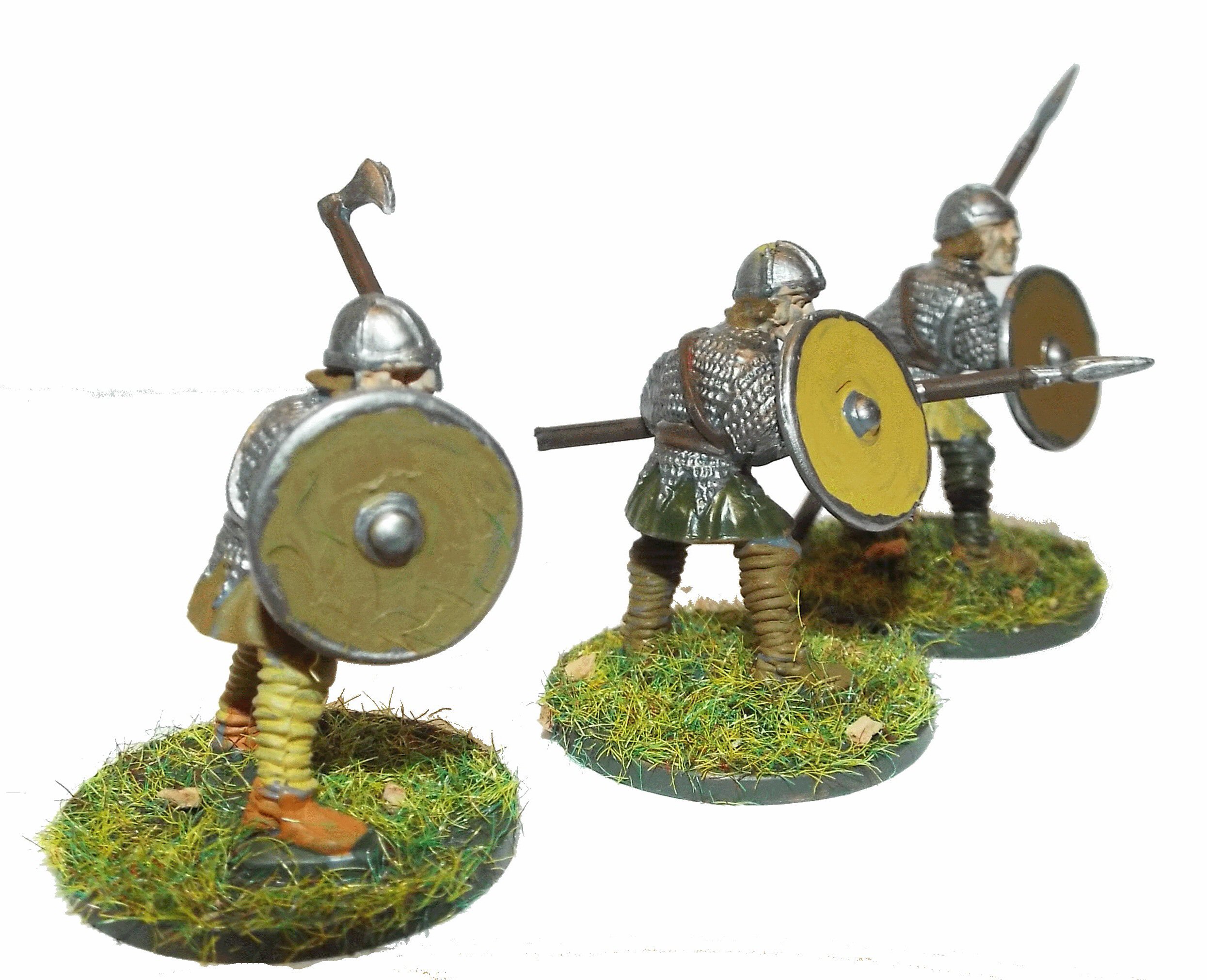
The barons had gonfanons, and the knights pennons. They occupied the advanced ground, next
to where the archers had fixed themselves. The carpenters, who came after, had great axes in their
hands, and planes and adzes hung at their sides. When they had reached the spot where the archers
stood, and the knights were assembled, they consulted together, and sought for a good spot to place
a strong fort upon. Then they cast out of the ships the materials, and drew them to land, all shaped
framed and pierced to receive the pins which they had brought, cut and ready in large barrels ; so that
before evening had well set in, they had finished a fort. Then you might see them make their kitchens,
light their fires, and cook their meat. The duke sat down to eat, and the barons and knights had
food in plenty; for he had brought ample store. All ate and drank enough, and were right glad that they
were ashore.
|
William of Jumièges/Orderic Vitalis(Gesta)
|
|---|
No reference to this subject in this document.
|
William of Malmesbury
|
|---|
No reference to this subject in this document.
|
Quedam Exceptiones de Historia Normannorum et Anglorum
|
|---|
No reference to this subject in this document.
|
Phases of the Battle of Hastings 1066AD
|
|---|
No reference to this subject in this document.
|