This map shows the Roman roads across the country, that King Harold's Coastal warning system may have taken
to warn the Saxons of the landing of Duke William in Sussex 1066AD. It also shows the routes that the Fyrd would have
taken to meet up with Harold on the way to the Battle of Hastings.
The width of the black lines on the map imply the width of the Roman roads, not all data is available but it is a good indicator
of possible routes Harold may have taken to return from Stamford Bridge to London.
Looking at the old Roman roads, to go from London to Stamford Bridge would entail Harold taking his housecarls from London
to Braughing on 'Ermine Street'(M2a) then from Braughing to Chesterton(near Peterborough M2b). Then skirting the Wash(which would have
extended to near Peterborough) then through Stamford, Grantham and Ancaster to Lincoln still on Ermine Street(M2c). Here he would have to come off Ermine
Street and had to march to Doncaster on the road skirting the Humber Estuary(M28a)
After Doncaster he would have followed the 'Roman Ridge' from Doncaster to Tadcaster (M28b)
and then to York still avoiding the
Humber Estuary on the (M28c). Finally he would need to go towards Heslington and finally to Stamford Bridge to fight the Battle.
Because of the location of the 'Battle of Stamford Bridge' the most logical explanation for the position of the
Viking fleet would have been at Driffield which would have been part of the Humber Estuary at the time, then they
could march down the old Roman Road from Driffield to Stamford Bridge and hence on to York. As Harold caught them near
Stamford Bridge, it would seem likely that they were camped somewhere between their fleet and York.
If we now look at the maximum speeds that troops on foot and horseback can travel, we can work out the timetable of
events after the 'Battle of Stamford Bridge'. The following chart shows the most likely maximum distances various
troops can travel in one day.
| Maximum travelling speed in Saxon times using Roman Roads |
|---|
| Type | Distance per day(miles) | York to London(days) |
|---|
| Messengers | 50 miles | 4 days |
| Housecarls | 30 miles | 7 days |
| Fyrð | 14 miles | 15 days |
| Baggage Train | 9 miles | 23 days |
The return journey would have most likely taken the reverse route as other Roman roads would have not been as quick, this
journey is about 209 miles from London to Stamford Bridge and would take about 7 days if they could average 30 miles a day on
horseback each with two horses.
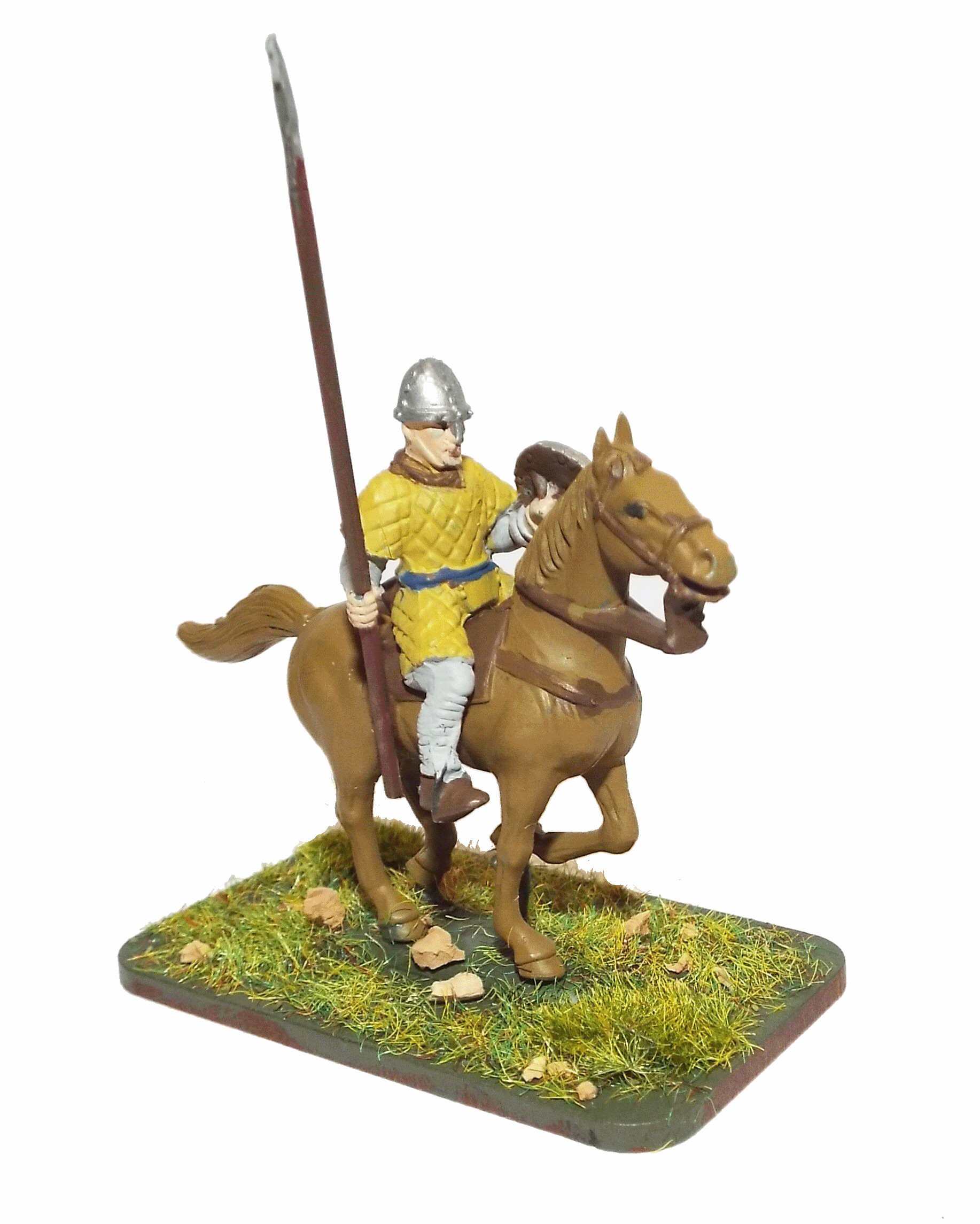
This would have been fine for the housecarls who were horse mounted, but none of the Fyrð would have been able to keep
up this pace, so Harold must have sent word ahead to get the Fyrð to join him near London. The Fyrð may have been able
to march 14 miles in a day but those from the north would have taken too long to get to London so the southern
Fyrð who would battle at 'Hastings' would have been different troops.
This then produces the following timeline between the Battles if we assume Harold was still in York until the
warning reached him.
| Minimum Event Timeline between Battles of Stamford Bridge and Hastings |
|---|
| Event | Date | Days | Elapsed |
|---|
| Battle of Stamford Bridge |
25th September 1066 | 0 | 0 |
|---|
| William anchored offshore |
27th September 1066 | 0 | 2 |
|---|
| William lands |
28th September 1066 | 0 | 3 |
|---|
| Messenger to Harold |
28th September -> 2nd October | 5 | 8 |
|---|
| Housecarls back to London |
3rd October -> 9th October | 7 | 15 |
|---|
| London to Battle |
10th October -> 14th October 1066 | 5 | 19 |
|---|
| Battle of Hastings |
14th October 1066 | 1 | 20 |
|---|
From the above timeline it is most likely that Harold was already on the way back to London when he met the
messenger because the above timeline shows the Fyrð only just arriving at 'Hastings' on the 14th October,
but we know that there was a Saxon party before the battle, and that defences had been built. So a modified
timeline shown below is more likely. We also know that he had to wait in London for some of the Fyrð to
join him.
| Timeline between Battles of Stamford Bridge and Hastings |
|---|
| Event | Date | Days | Elapsed |
|---|
| Battle of Stamford Bridge |
25th September 1066 | 0 | 0 |
|---|
| William anchored offshore |
27th September 1066 | 0 | 2 |
|---|
| William lands |
28th September 1066 | 0 | 3 |
|---|
| Harold starts return to London |
30th September | 0 | 4 |
|---|
| Messenger to Harold |
28th September -> 1st October | 4 | 6 |
|---|
|
This would mean that Harold met the messenger near Lincoln |
|---|
| Housecarls back to London |
30th September -> 6th October | 7 | 11 |
|---|
| wait in London for Fyrð |
7th October 1066 -> 8th October | 1 | 13 |
|---|
| To Battle |
9th October -> 13th October 1066 | 5 | 19 |
|---|
| Battle of Hastings |
14th October 1066 | 1 | 20 |
|---|
|