Saxon Seaxe Anglo Saxon History
saxonhistory.co.uk
Map Position
This map shows the position of locations containing '1066, anderida' centered on Westfield in Sussex.
Map Logic
This map shows the area around Battle and Hastings in 1066.

Roman roads are shown as black lines, red lines show old Roman Ridge trackways and purple lines show theoretical Roman roads implied by village and road names.

The thickness of the road implies the width of the Roman metalled surface.

The sea is shown raised by 5 metres to accomodate the high tide level changes since 1066, if you zoom into the map over Battle then you will see that the only routes out of the Hastings Peninsular are through Battle and Netherfield.

 
Icon Key:
Town
Roman Major Fort
Earthworks

Battle of Hastings - Reference - William of Malmsbury


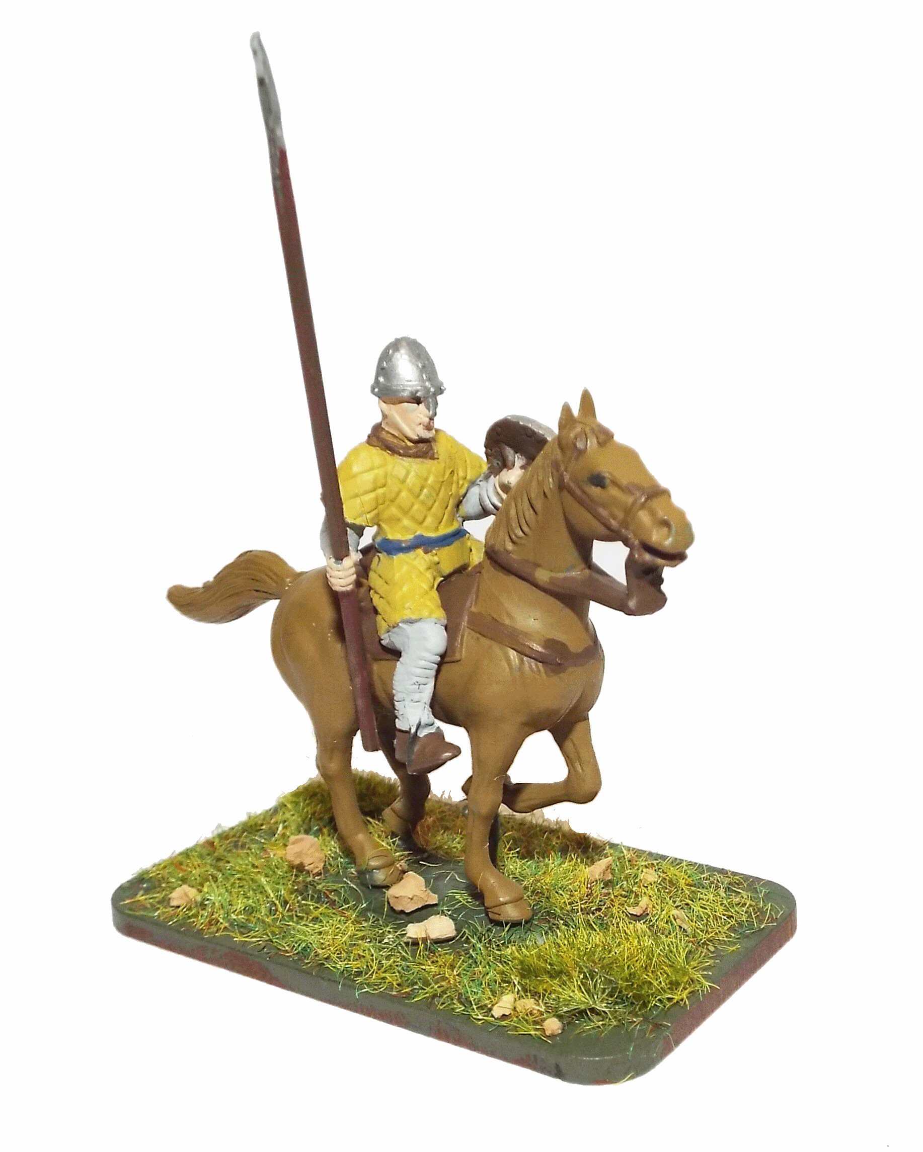
William of Malmsbury's text for the Battle of Hastings 1066
which was completed around 1125AD called the 'Gesta Regum Anglorum'

Click HERE for the full text


William of Malmesbury (c.?1095AD – c.?1143AD) was the foremost English historian of the 12th century. He has been ranked among the most talented English historians since Bede. William was born about 1095 or 1096 in Wiltshire. His father was Norman and his mother English, and spent his whole life in England and his adult life as a monk at Malmesbury Abbey in Wiltshire, England. (see Wikipedia).


Harold Marches South

Harold, elated by his successful enterprise, vouchsafed no part of the spoil to his soldiers. Wherefore many, as they found opportunity, stealing away, deserted the king, as he was proceeding to the battle of Hastings.

English are Routed

For with the exception of his stipendiary and mercenary soldiers, he had very few of the people with him ; on which account, circumvented by a stratagem of William's, he was routed, with the army he headed, after possessing the kingdom nine months and some days.

Epilogue

The effect of war in this affair was trifling ; it. was brought about by the secret and wonderful counsel of God : since the Angles never again, in any general battle, made a struggle for liberty, as if the whole strength of England had fallen with Harold, who certainly might and ought to pay the penalty of his perfidy, even though it were at the hands of the most unwarlike people. Nor in saying this, do I at all derogate from the valour of the Normans, to whom I am strongly bound, both by my descent, and for the privileges I enjoy. Still those persons appear to me to err, who augment the numbers of the English, and underrate their courage ; who, while they design to extol the Normans, load them with ignominy. A mighty commendation indeed ! that a very warlike nation should conquer a set of people who were obstructed by their multitude, and fearful through cowardice !


External References in no particular order :-
Anglo Saxon Chronicles
Online Anglo Saxon dictionary
Online Etymology dictionary
Open Domesday Book - The first free online copy of the Domesday Book
The Ermine Street Guard Roman re-enactment and research Society
The "Kent A" cadastre - page 5 - Peterson 2002
Archaeologia Cantiana Online
Romney Marsh Research Trust
Romney Marsh the Fifth Continent
VillageNet the reference guide to villages in Kent & Sussex
Global warming Flood Maps
The Anglo Saxon Chronicles
Google Maps - the core of the system
GeoPlaner - Useful site for plotting map data
Julius Caesar's Gallic Wars 55BC(Books 4 & 5)
Wikipedia - Caesar's invasions of Britain
Wikipedia - Portus Istus
The Geography of Claudius Ptolemy (Bill Thayers)
Roman Britain.org
Runetree Beowulf
Bayeux Tapestry Online
The Secrets of the Norman Invasion
Chronicles of John of Worcester
Battle Historic Society
Binsted village website(Mearcredesburnan Steðe)
The Spears of Andred
Find British Archaelogical Sites
Wealden Iron Research Group
Topographic Map of the UK


Copyright saxonhistory.co.uk 2013 - 2024
Contact me
Author: Simon M - Last Updated: 13/03/2024 13:12
All pages on our site (Sitemap)
Data is derived from a number or sources including the Ordnance Survey Gazetter data overlayed onto Google Maps