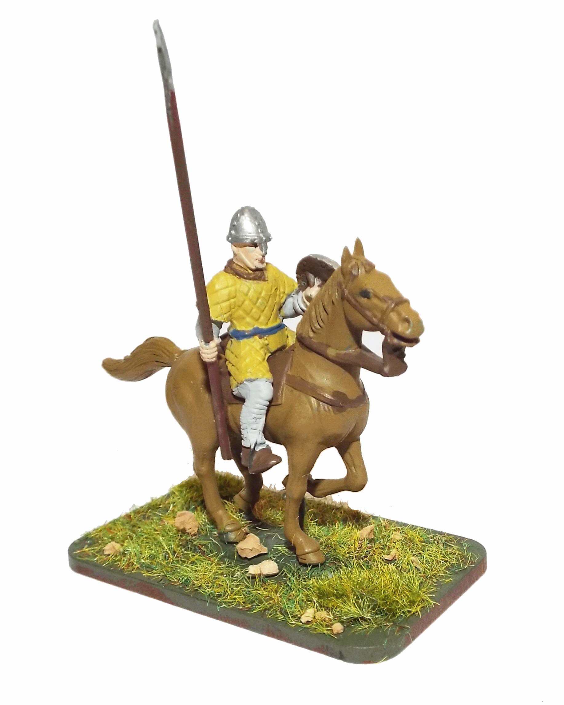
Battle of Hastings AD1066 - Phase 7 - Raiding the area
Raiding the area and foraging.
|
This page shows the documentary evidence from translated original documents
|
|---|
Anglo Saxon Chronicles
|
|---|
No reference to this subject in this document.
|
Battle Abbey Chronicles
|
|---|
And having burnt the greatest part of the ships (lest any of his followers, relying upon the hope of
returning home, should be
careless in the design that they had undertaken), the duke � now shortly about to become a king �
anxiously hastened to
reduce the surrounding country.
|
Bayeux_Tapestry
|
|---|
The Motte and Bailey is built and the troops go off and burn the villages.
odo eps willelm rotbert
(Bishop Odo, William and Robert)
iste jussit ut foderetur castellum at Hastenga
(he ordered that a motte should be built at Hastings)
ceastre
(the camp)
hic nuntiatum est willelm de harold
(here William is told about Harold)
hic domus incenditur
(here a house is burned)
|
Carmen de Triumpho Normannico
|
|---|
They invade the countryside, they lay waste and put to the torch
One Englishman kept hidden under the sea cliffs
He sees the countless ranks stream forth
Blazing flames devour homes
And all the children shed tears at the slaughter of their parents
|
Florence of Worcester
|
|---|
No reference to this subject in this document.
|
Henry of Huntingdon
|
|---|
No reference to this subject in this document.
|
Master Wace
|
|---|
The first day they held their course along the seashore ; and on the morrow came to a castle called
Penevesel. The squires and foragers, and those who looked out for booty, seized all the clothing
and provisions they could find, lest what had been brought by the ships should fail them ; and the
English were to be seen fleeing before them, driving off their cattle, and quitting their houses. All
took shelter in the cemeteries, and even there they were in grievous alarm.
|
William of Jumièges/Orderic Vitalis(Gesta)
|
|---|
No reference to this subject in this document.
|
William of Malmesbury
|
|---|
No reference to this subject in this document.
|
Quedam Exceptiones de Historia Normannorum et Anglorum
|
|---|
No reference to this subject in this document.
|
Phases of the Battle of Hastings 1066AD
|
|---|
No reference to this subject in this document.
|