This map is designed to show the relative population size and the damage caused to the villages around the Hastings area in 1066AD.
The Motte and Bailey Fort is constructed and the villages destroyed
please click
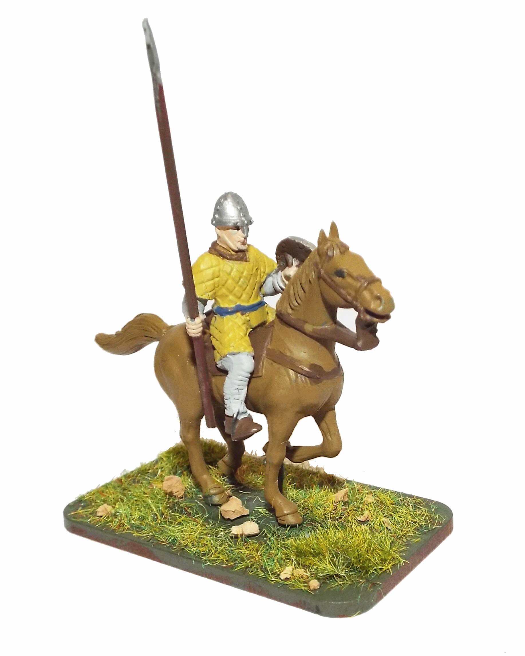
here to visit Reading Museum for further details of Britains Bayeux Tapestry. |
Looking at the map it would seem that the majority of the 'Wasted' villages start in the Filsham valley then spread
out toward the extremeties of the Hastings peninsular following the old Roman Roads/Trackways.
'Wasted' is a term used in the Domesday Book to describe villages that were totally destroyed by the invasion in 1066AD.
Looking to the West, it can be seen that only a couple of small villages near Pevensey were 'wasted' which implies that
the main landing didn't take place on the Pevensey side of the Estuary, although there was some damage caused to the villages
along the old Roman Road from Pevensey to Lewes.
The implication of this map is that the main Norman landing occurred along the coast between Bexhill and into the Filsham valley, this
is likely dueto the tides along the Sussex coast. It is also likely as the Normans must have known about
the safe harbour at Hastings(Filsham Valley) due to imports/exports along the Sussex coast.
It may nowadays seem unlikely that this was the old Hastings harbour as its a long way from modern Hastings, however the valley
was used by the Romans to export pig iron to Gaul so it must have been a deep water harbour then, and until the storm in 1286AD which
blocked the Rother at New Romney, and probably sea access to the Filsham valley it is likely that this was the main port of Hastings.
The Rother valley appears to have been scouted as Salehurst, Drigsell and Higham were wasted, this means that William knew about the
old Roman road to Gravesend, which in turn means that if Harold had been travelling down this road that the Norman scouts would have
easily been able to watch his progress and the Battle would most likely have been fought in the Sedlescome area with the Saxons
having to fight uphill.
Because of the above argument it would seem likely that Harold would have come down the London to Lewes road, cut through the forest
of Andredsweald via the old ridgeway track from Crowborough to Netherfield, which would have made it more difficult for William to
track his progress.
Total Population(ex slaves) of the 18 Domesday Villages in 1086AD shown is 342
This would equate to a Fyrd(national service) of approximately 20 soldiers.
Please Note that the estimate for the Fyrd is based on 6% of the
population(excluding Priests and Slaves) being eligible for military duties.
| Summary of Domesday information for this map |
|---|
Population Overview |
|---|
| Villagers | 235 | |
|---|
| Cottagers | 95 | Thegns |
|---|
| Smallholders | 12 | |
|---|
| Slaves | 3 | |
|---|
Occupation Overview |
|---|
| Churches | 5 | |
|---|
| Salthouses | 8 | |
|---|
| Ploughs | 190 | |
|---|
Land Overview |
|---|
| Plough Land | 146 | acres |
|---|
| Meadows | 87 | acres |
|---|
| Woodlands | 64 | acres |
|---|
Animals Overview |
|---|
| No Animal details recorded in Domesday |
Valuation |
|---|
| | AD1066 | AD1086 |
|---|
| Value(geld) | | 75 | 78 |
|---|
|