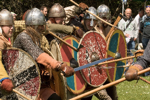
The Fyrd(Fyrð) were the Saxon militia and made up the majority of the army, and would come from wherever
the King chose to request them from..
https://spearsofandred.com
|
The fyrd(actually spelt fyrð and pronounced fyrth) was the local militia from a Saxon shire in which all freemen had to serve
when requested.
Those who refused military service were subject to fines or loss of their land.
According to the laws of Ine of Wessex(King from 688 to 726):
If a nobleman who holds land neglects military service, he shall pay 120 shillings and forfeit his land; a nobleman who holds no
land shall pay 60 shillings; a commoner shall pay a fine of 30 shillings for neglecting military service.(source wikipedia.com)
|
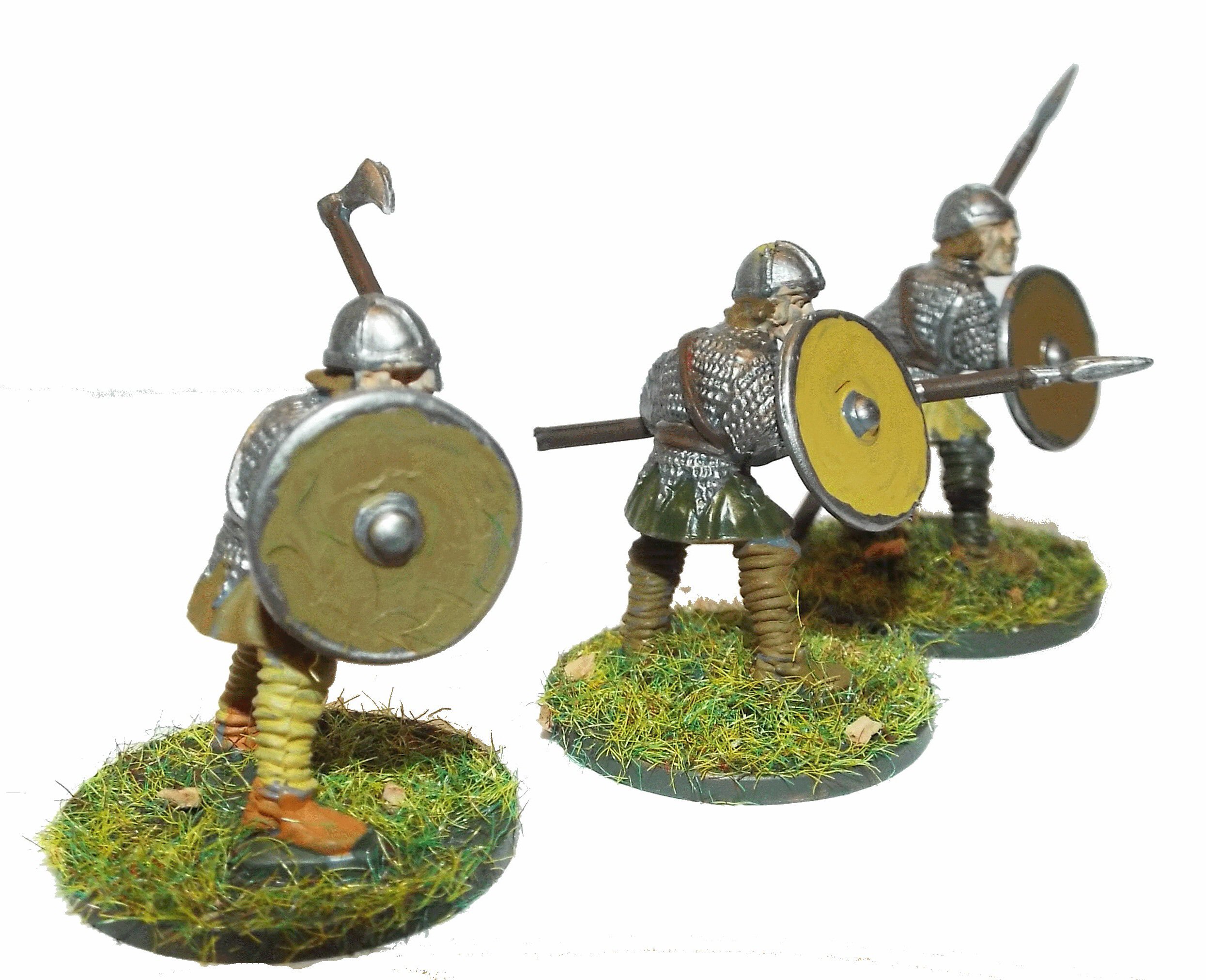
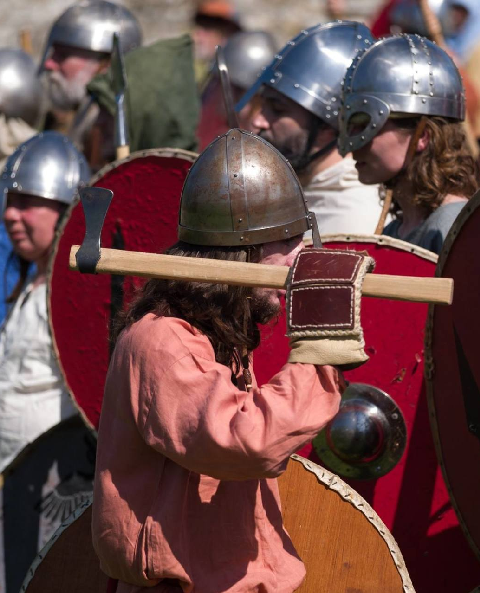
The Fyrð would have been armed with weapons provided by their local landowner, so depending on their wealth they may have
Chainmail corselets or padded leather jerkins, iron or leather helmets and swords.
The poorer or those from a lower caste would be armed with hachets, bills, spears clubs and great picks, iron forks and stakes.
They all would have had a wooden shield, and most likely a seaxe as backup.
At the Battle of Hastings the Fyrð are reported to have come from London, Kent, Herfort, Essesse, Suree, Sussesse, St. Edmund
and Sufoc; of Norwis and Norfoc ; of Cantorbierre and Stanfort, Bedefort and Hundetone . The men of Northanton also came ; and
those of Eurowic and Bokin keham, of Bed and Notinkeham, Lindesie and Nichole. There came also from the west all who heard the
summons and very many were to be seen coming from Salebiere and Dorset, from Bat and from Sumerset. Many came too from about
Glocestre, and many from Wirecestre, from Wincestre, Hontesire, and Brichesire.
From this report it looks like the majority of the
Fyrð at the Battle of Hastings were from Wessex and the local counties Sussex, Surrey, Kent and Essex. So this army would have been
different to the forces deployed at Stamford Bridge which would have been local to that area.
|
https://spearsofandred.com
|
|
|
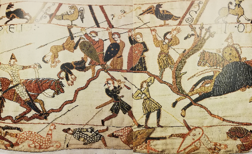
This picture of the bayeux tapestry shows the Norman Cavalry attacking uphill to the Fyrd defending the shieldwall, look carefully and you
will see most Saxons seem to have moustaches.
The Fyrð seem to be less well armoured than the Thegns/Huscarls and seem to be using spears against the cavalry, also the cavalry appear
to be attacking by throwing spears.
The Saxons in the foreground appear to be those who broke from the shieldwall and chased the retreating Normans and were cut down.
|
|