Battle of Hastings AD1066 - Phase 4 - The Landing and its location
The Norman landing and its possible locations
| This page shows the documentary evidence from translated original documents
|
|---|
Anglo Saxon Chronicles
|
|---|
Meantime Earl William came up from Normandy into Pevensey on the eve of St. Michael's mass; and soon
after his landing was effected, they constructed a castle at the port of Hastings.
|
Battle Abbey Chronicles
|
|---|
The duke, therefore, with a prodigious army, and attended by the divine favour, arrived safely near the
castle called Pevensey. The soldiers leaped joyfully upon English ground at intervals along the shore.
It happened as the duke left his ship, that he fell upon his face, making his nose somewhat bloody upon
the beach, and grasping
the earth with his outstretched hands. Many of the bystanders feared the consequences of so unlucky a
presage, and stood
whispering together. But the duke's ewer, William Eitz-Osbert, a man of great merit and much ready wit,
being at hand, boldly
rallied the failing courage of the waverers with a word. 'Cease men,' said he, 'to interpret this as a
misfortune, for by my troth,
it is a token of prosperity ; for lo ! he hath embraced England with both his hands, and sealed it to his
posterity with his
own blood ; and thus by the foreshowing of Divine Providence is he destined effectually to win it !'
|
Bayeux_Tapestry
|
|---|
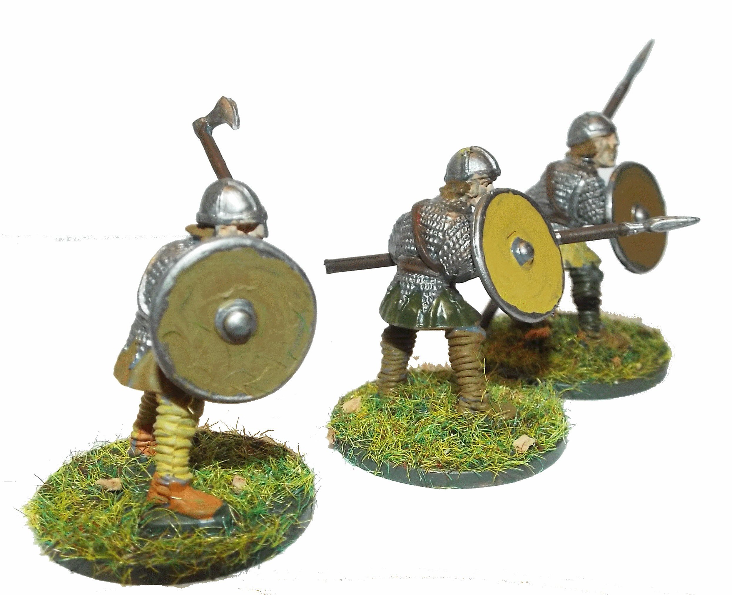
Troops disembark and are sent to Hastings to get provisions.
hic exeunt caballi de navibus et hic milites festinaverunt haestinga ut cibum raperentur
(the horses are taken from the ships and the soldiers make haste to Hastings to seize food)
|
Carmen de Triumpho Normannico
|
|---|
Nor fear the Northern gale, but to a charming landing place
Nor the rocky coast looming perilous
The third hour of the day overspread the earth
Since leaving the sea behind when you seize a sheltered strand
The land belonging to you had been stripped of tenants
You rejoice as you and yours seize a peaceful arc of strand
You secure the bridgehead fearing to neglect the ships
And raise palisades, that you may site the camp within
You restore the forts that were long since destroyed
You station garrisons that they may be defended
Not much space has been occupied by your men in peace
|
Florence of Worcester
|
|---|
While these events were passing, and when the king might have supposed that all his enemies were quelled, he received
intelligence of the arrival of William, earl of Normandy, with an innumerable host of horsemen, slingers, archers, and
foot soldiers, having taken into his pay auxiliary forces of great bravery from all parts of France ; and that he had
moored his fleet at a place called Pevensey.
|
Henry of Huntingdon
|
|---|
No reference to this subject in this document.
|
Master Wace
|
|---|
The ships steered to one port; all arrived and reached the shore together ; together cast anchor,
and ran on dry land ; and together they discharged themselves. They arrived near Hastings, and there
each ship ranged by the other's side. There you might see the good sailors, the Serjeants and squires
sally forth and unload the ships ; cast the anchors, haul the ropes, bear out shields and saddles, and
land the warhorses and palfreys. The archers came forth, and touched land the foremost; each with his
bow bent, and his quiver full of arrows slung at his side. All were shaven and shorn, and all clad in
short garments, ready to attack, to shoot, to wheel about and skirmish. All stood well equipped, and
of good courage for the fight ; and they scoured the whole shore, but found not an armed man there.
After the archers had thus gone forth, the knights landed next, all armed; with their hauberks on, their
shields slung at their necks, and their helmets laced. They formed together on the shore, each armed up
on his warhorse. All had their swords girded on, and passed into the plain with their lances raised.
|
William of Jumièges/Orderic Vitalis(Gesta)
|
|---|
At last when by God's grace it suddenly came round to the quarter which was the object of so many prayers, the duke,
full of ardour, lost no time in embarking the troops, and giving the signal for hastening the departure of the fleet.
|
William of Malmesbury
|
|---|
No reference to this subject in this document.
|
Quedam Exceptiones de Historia Normannorum et Anglorum
|
|---|
Everything having been prepared, he set forth for England together with his fleet, propelled by a steadily blowing following wind,
and landed at Peneuesel, where at once he restored the most strongly entrenched fortification and, entrusting it to his soldiers,
he went to Hastings and there established another fortification.
|
Phases of the Battle of Hastings 1066AD
|
|---|
No reference to this subject in this document.
|
|