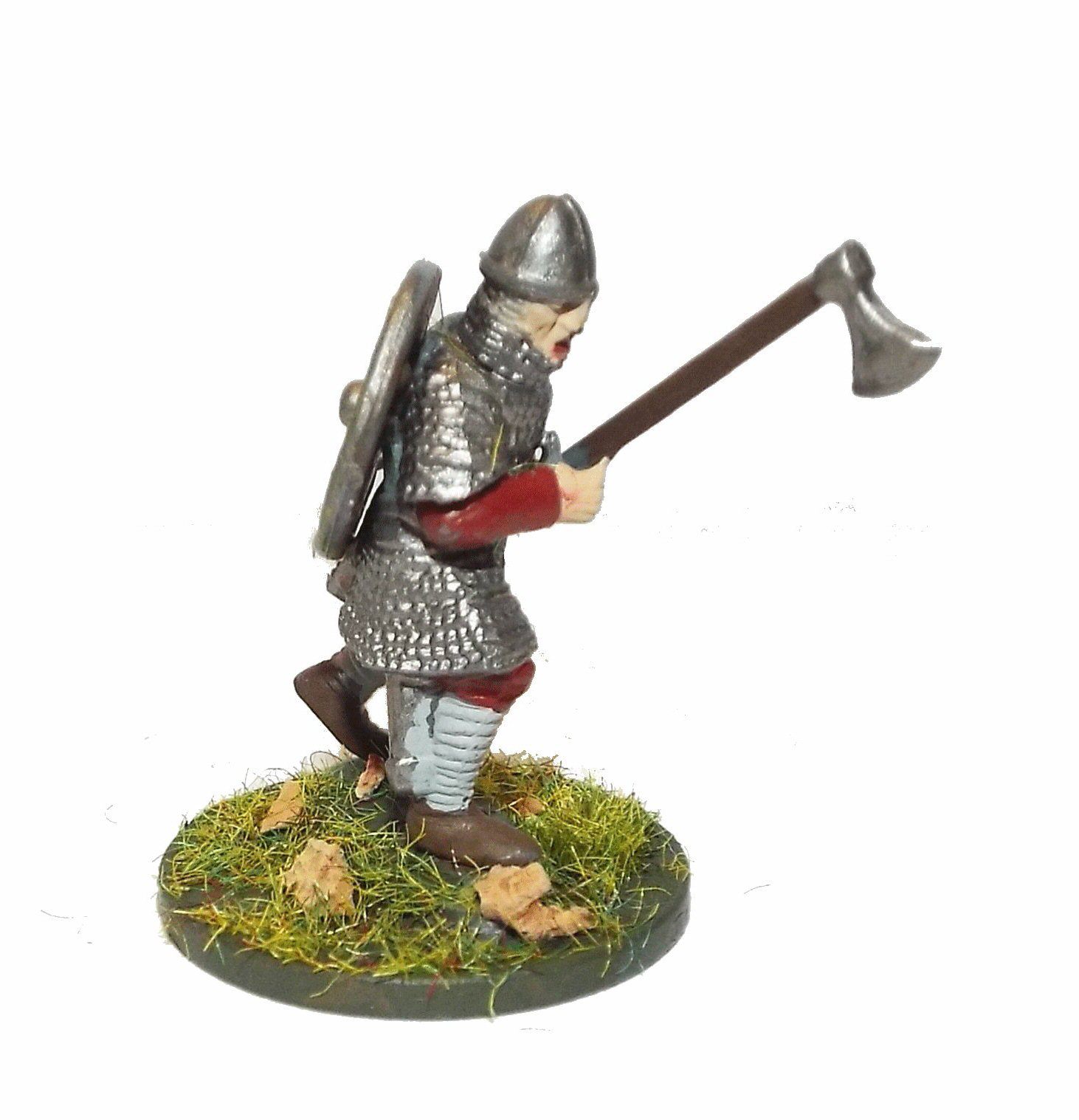
Battle of Hastings AD1066 - Phase 13 - Norman and Saxon defenses
Norman and Saxon defences and their vicinity.
|
This page shows the documentary evidence from translated original documents
|
|---|
Anglo Saxon Chronicles
|
|---|
No reference to this subject in this document.
|
Battle Abbey Chronicles
|
|---|
No reference to this subject in this document.
|
Bayeux_Tapestry
|
|---|
No reference to this subject in this document.
|
Carmen de Triumpho Normannico
|
|---|
France who begets illustrious nobility
And people of Brittany, for whom there is honour in arms
Illustrious forces of Maine, whose glory
Apulia, Calabria, Sicily! Whose flying darts swarm!
Esteemed Normans, ever ready for action!
Wherefore we charge you to guard the camp
|
Florence of Worcester
|
|---|
No reference to this subject in this document.
|
Henry of Huntingdon
|
|---|
No reference to this subject in this document.
|
Master Wace
|
|---|
However all agreed that Gurth's advice was good, and wished him to follow it ; but Harold, to shew
his great courage, swore that they should not go to the field or fight without him. Men, he said, would
hold him a coward, and many would blame him for sending his best friends where he dared not go him
self. So he would not be detained, but set out from London, leading his men forward armed for the fight,
till he erected his standard and fixed his gonfanon right where THE ABBEY OF THE BATTLE is now
built. There he said he would defend himself against whoever should seek him ; and he had the
place well examined, and surrounded it by a good fosse, leaving an entrance on each of three sides,
which were ordered to be all well guarded.
The Normans kept watch and remained through out the night in arms, and on their guard ; for they
were told that the English meant to advance and attack them that night. The English also feared
that the Normans might attack them in the dark ; so each kept guard the whole night, the one watching
the other.
|
William of Jumièges/Orderic Vitalis(Gesta)
|
|---|
No reference to this subject in this document.
|
William of Malmesbury
|
|---|
No reference to this subject in this document.
|
Quedam Exceptiones de Historia Normannorum et Anglorum
|
|---|
No reference to this subject in this document.
|
Phases of the Battle of Hastings 1066AD
|
|---|
No reference to this subject in this document.
|